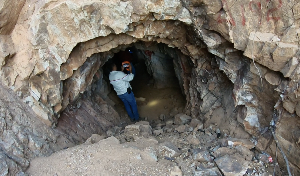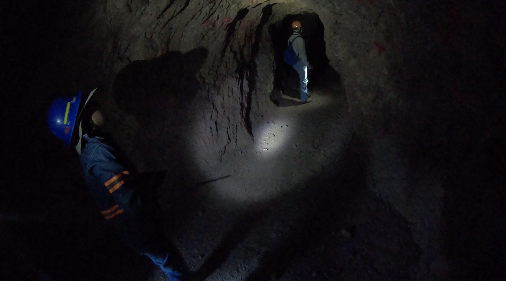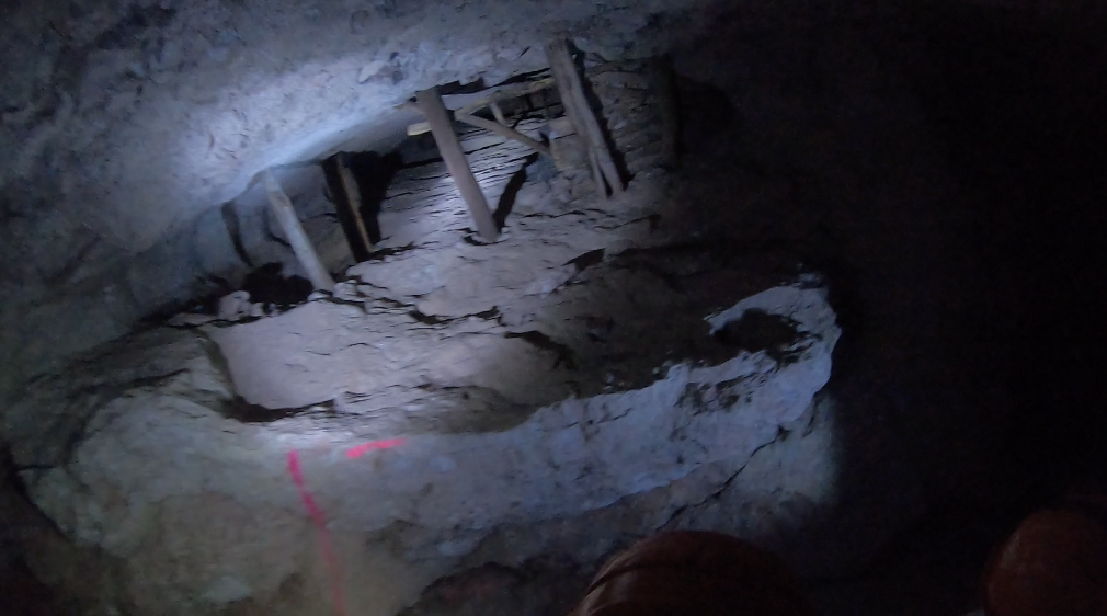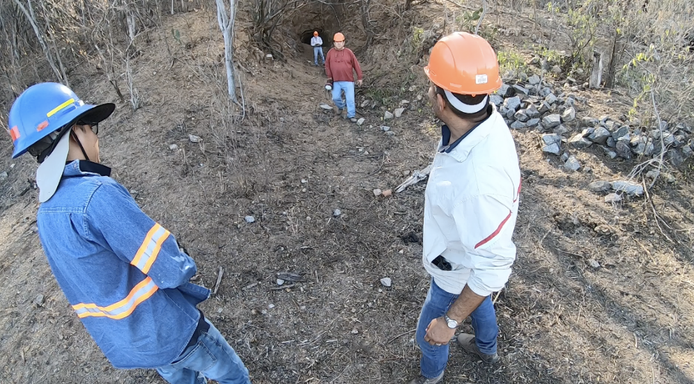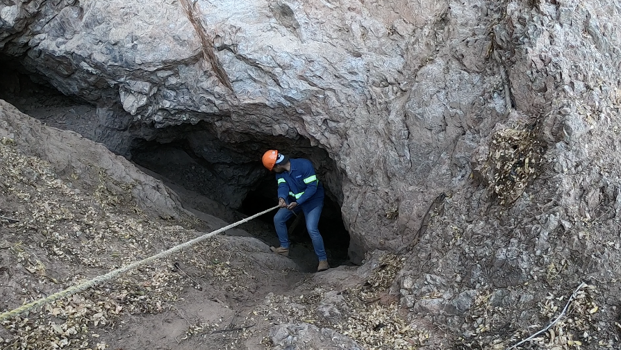
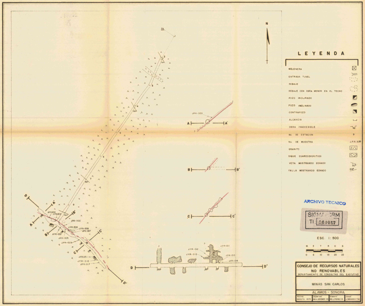
The San Carlos Area of the La Sabina Mine is known for a large tunnel built in or before 1975 which runs some 200m deep into the heart of the mountain and intersects the major vein structure. There are numerous workings from the old timers in this area.
Stage
Exploration
REsource
Gold/Silver
HECTARES
254
Estimated AISC
$982/oz
PRoven & Probable RESERVES
0.0 Koz Au
Measured & Indicated RESOURCE
251.9Koz Au
Inferred RESOURCE
49.7Koz Au

Location
The La Sabina mine is located in the municipality of Quiriego, which has approximately 3,000 residents as of 2020. The La Sabina mine currently employs approximately 50 people. The La Sabina mine sits on over 3,000 hectares of land in this region and has the potential to be a multi-million ounce deposit.
The San Carlos area is located in the south east corner of the mine. The major vein structure extends 3.5 km from the NW to the SE can continues beyond the mine claim.
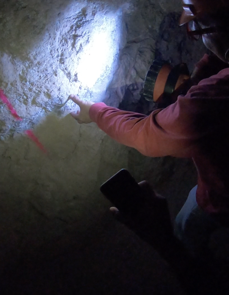
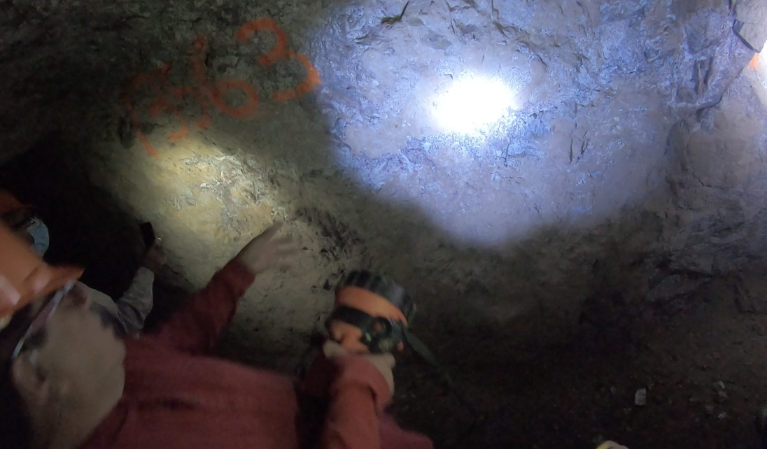
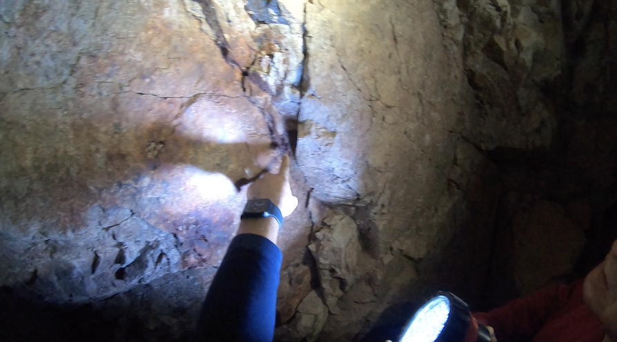
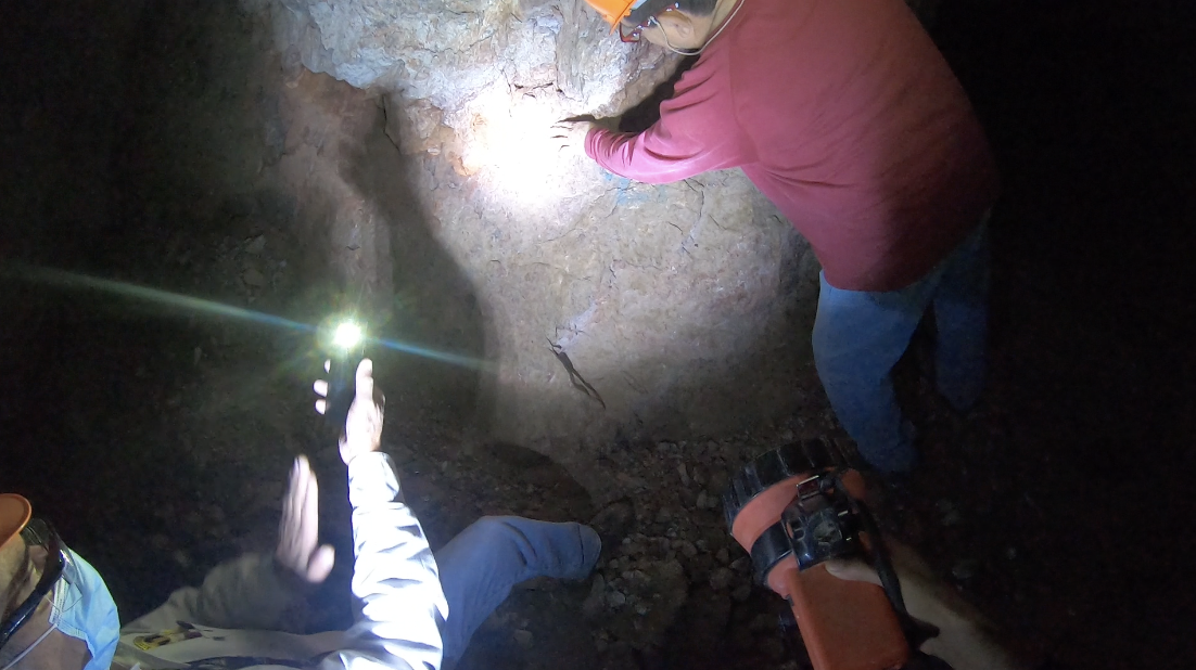
Historic production from the San Carlos area yielded around 4,000 ounces during a very brief survey carried out by the SGM in 1975. During the survey (right) they tunneled some 200 meters into the mountain to approach the major vein structure of the La Sabina Mine which is very clearly visible from the inside.
From this time, the San Carlos area of the La Sabina mine has been considered to have the highest gold values, having found 2 samples above 170g/t Au on separate occasions. This area also contains numerous historical works by old timers both underground and on the surface.
This area was not chosen as the initial area due to there being some 60-80m of overburden on top of the major vein area which would need to be removed before initializing the project. However, exploration is still ongoing with each time yielding solid results. San Carlos is expected to be an open pit project.
Geology, Mineralization, Ore Types
Regional Geology
The La Sabina deposit is located within the western part of the Sierra Madre Occidental volcanic pile. The oldest rocks in the area are Triassic sedimentary rocks represented by carbonaceous shales, sandstones and slates of the Barranca Formation. Overlaying in discordance, there are Upper Jurassic schist and phyllites. Also in discordance there are Upper Cretaceous volcanic rocks represented by andesitic flows and agglomerates, which composition is dacitic-andesitic.
All these rocks are affected by Upper Cretaceous-Lower Tertiary intrusive rocks, which composition varies from granodiorite to diorite to quartz monzonite. The younger rocks in the area that also cover in discordance the oldest sequence are Middle and Upper-Tertiary rhyolitic and andesitic flows, tuffs and agglomerates.
Local Geology
In the area of the project the main outcrop is a granodioritic intrusive with equigranular texture, medium to fine grain, which is emplaced in the upper Cretaceous intermediate volcanic rocks. Younger andesitic porphyry stocks are affecting the Upper Cretaceous rocks as well.
Scarce outcrops in the form of roof-pendants are observed in the northwestern part of the area. They consist in sandstone and slate of the Barranca Formation.
Overlaying in discordance, there are polymictic conglomerates and post-mineralization felsic volcanic rocks.
Structure
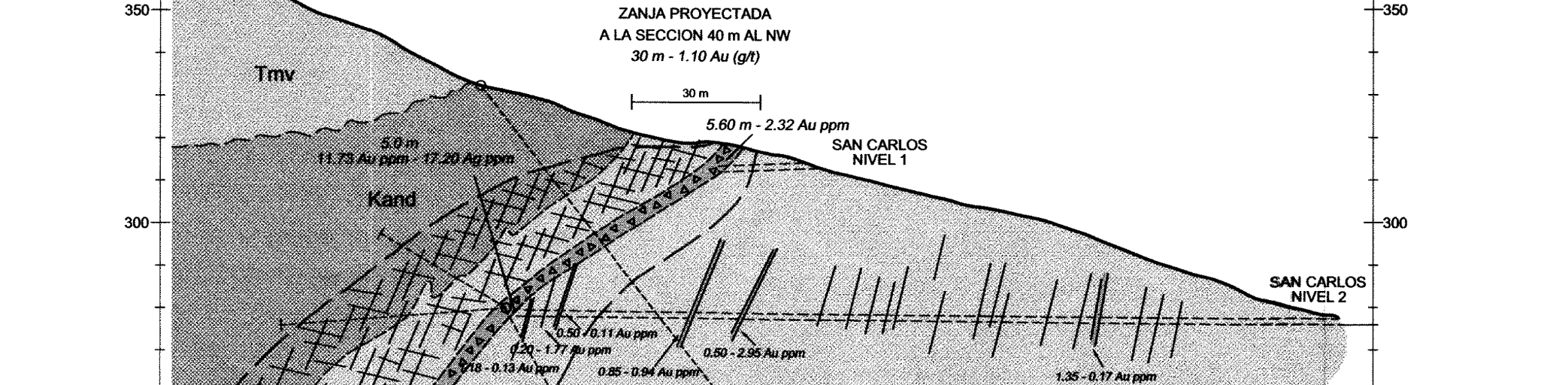
The main structure that controls the epithermal gold-silver mineralization is a shear zone striking SE15-60°NW with a length o f more than 3.5 kilometers and width of 10 t o 40 m. In some areas have been approximately 60 t o 100 meters width dipping 65° to 85° generally to the southwest and in some cases to the northeast.
The San Carlos area represents some 500-800 meters of this trend.
This shear zone is intersected by other shear zones striking N-S and SW20º-60°NE, and
milky quartz structures oriented almost E-W. Some of these structures are 100 meter
width.
A low angle structure, probably a listric fault, is observed in the San Carlos mine. It presents a 30 to 40 cm width gouge zone, where at least two movement stages are observed.
The structural setting offer an excellent ground preparation for the circulation of the mineralizing fluids and the precipitation of economic minerals.
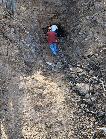
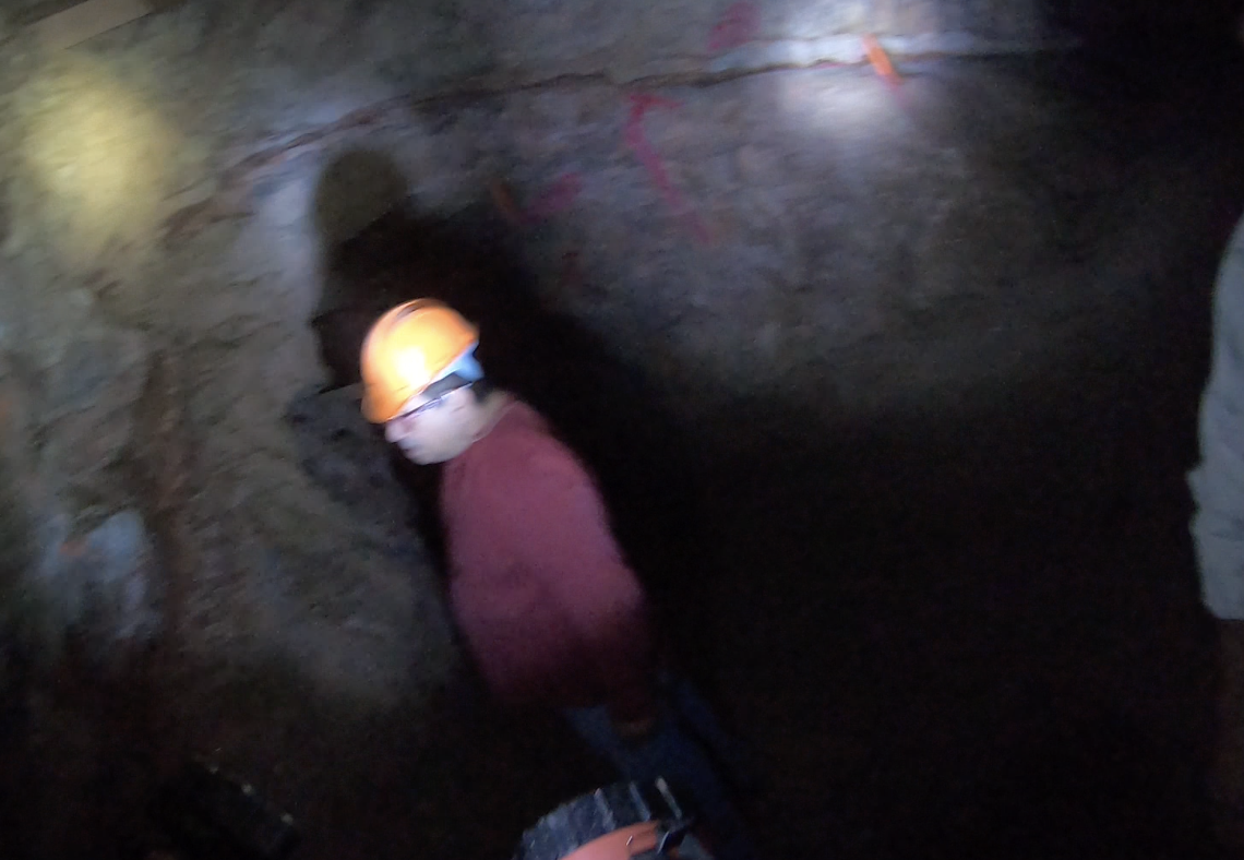
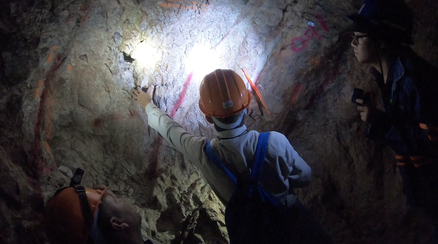
Photo Gallery
Photos from around the inside of San Carlos Level 2